Locate, Confirm, then Drill! Call us Before Drilling
+1-613-709-8421
Services
Our services covers all the globe .
Works on different natures and environments


EM Airborne Survey
EM Offshore Survey
EM Onshore Survey
-
Block Survey PlanningData acquisition requires a certain number of profiles with their directions and they are different for each explored block. Creating an exploration map is a very important stage in order to identify the entire section of the earth's crust correctly. Our team is expert in generating map profile plans to take into account different factors such as various topography shapes, types, nature, .., as well as the suitable type of vehicle to do this job smoothly with minimum interference from outside sources.
-
Dry Well Test
 The Dry Well Test helps to guide the customer to right direction and correct any errors found the during exploration and drilling stages. By using our innovative technology in detecting the exact location of oil/gas signatures in a short amount of time, will help our customers to decide what next steps to take and to ensure that their well will be a productive one.
 -
Electromagnetic Data Acquisition
 This innovative technology can be used as a stand alone service in hydrocarbon exploration or it can be used as as a support service for other technologies for the purpose of quick confirmation (one day job) in immediate drilling decision making situations.
 -
Earth Crust Geological Stress 2D Mapping
 Earth stress mapping is a fast way to show you exactly where the earth faults or traps lie under dynamic stress zones. This type of 2D intensity mapping is the first geological map in the process which can quickly show both earth faults and predicted trap zones, as well as how to work with cross sectional ones.
 -
2D and 3D Geological Mapping
 2D geological mapping services can be used to obtain quick answers for Go or No-Go in drilling. 2D can also provide cross sectional results showing the oil/gas traps locations within reasonable time. 3D geological mapping is an optional case for customers who want to estimate the trap volume and the amount of both oil and gas inside it. This service will cost more time to provide the required graphical 3D map.
 -
Oil and Gas Traps Allocation
 Traps allocation is one of the critical stages in exploration procedures because the drilling decision will be based off of it. To reduce the probability of making incorrect decisions, customers should get more data using different technologies for both drilling zones and specific spots. Using our technology will give customers a solid answer in a short period of time and make them feel more confident as they are moving in the right direction.
Magnetrate Exploration Types

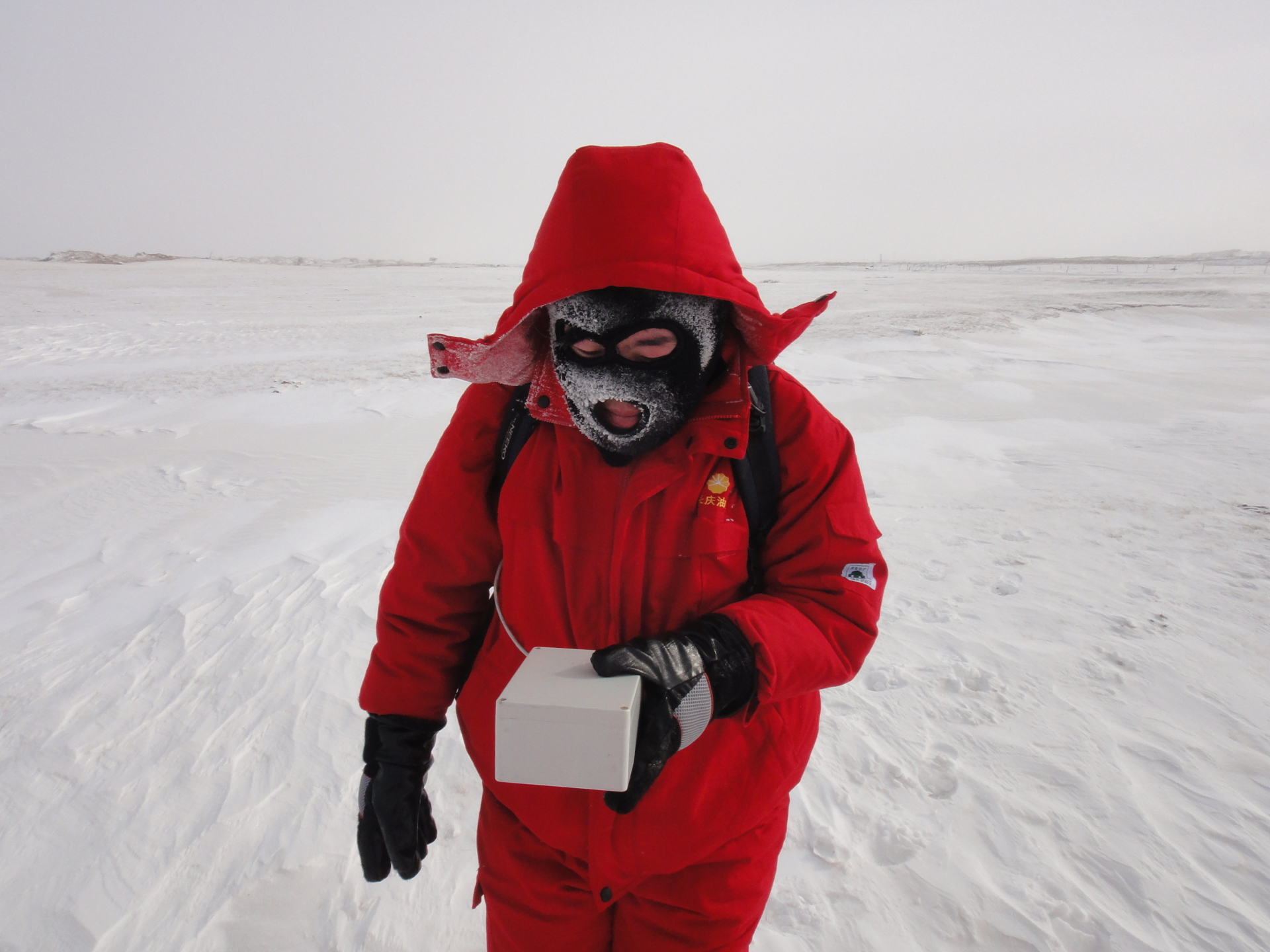
ONSHORE SERVICES:
Magnetrate ground services are recommended for fine detailed data acquisition.
In certain countries it is hard to obtain flying permissions with mounted instruments outside of an aircraft, so it is recommended to use a car or to simply walk with our instruments along the profile.
In certain countries it is hard to obtain flying permissions with mounted instruments outside of an aircraft, so it is recommended to use a car or to simply walk with our instruments along the profile.
OFF-SHORE SERVICES:
Our instruments can also be used for offshore exploration and data acquisition using vessel or boat. This technology is not affected by deep or shallow water or if it is salty or not.
A major problem in off-shore sisemic exploration is the coral reef zones which limits the operation of net sensors draging behind the exploration ship. The reason for this is because it can cause severe damage to the sensors net and would require expert divers to release the net from being trapped in the coral.
With our technology, a mid-sized boat will be more than enough to complete the job, and the sensor need not to be inside the water.

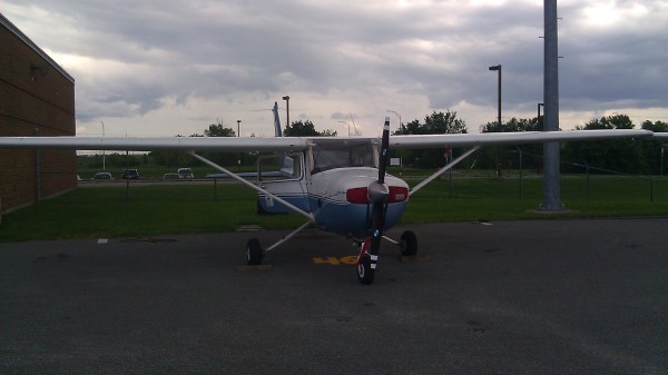
AIRBORNE SERVICES:
Magnetrate airborne services have been used in different places around the world, compared to conventional technologies. It has shown to be very successful, reliable and fast when it comes to data acquisition in tropical forests, shallow marshes and mountainous regions.
Based on aircraft speed it is possible to complete one hour worths of data acquisition forup to 80 to 100 line-km, with a team of only two people (pilot and operator).
Based on aircraft speed it is possible to complete one hour worths of data acquisition forup to 80 to 100 line-km, with a team of only two people (pilot and operator).